Current Projects

Landscape Modelling and Planning in Selected Landscapes in the Chittagong Hill Tracts

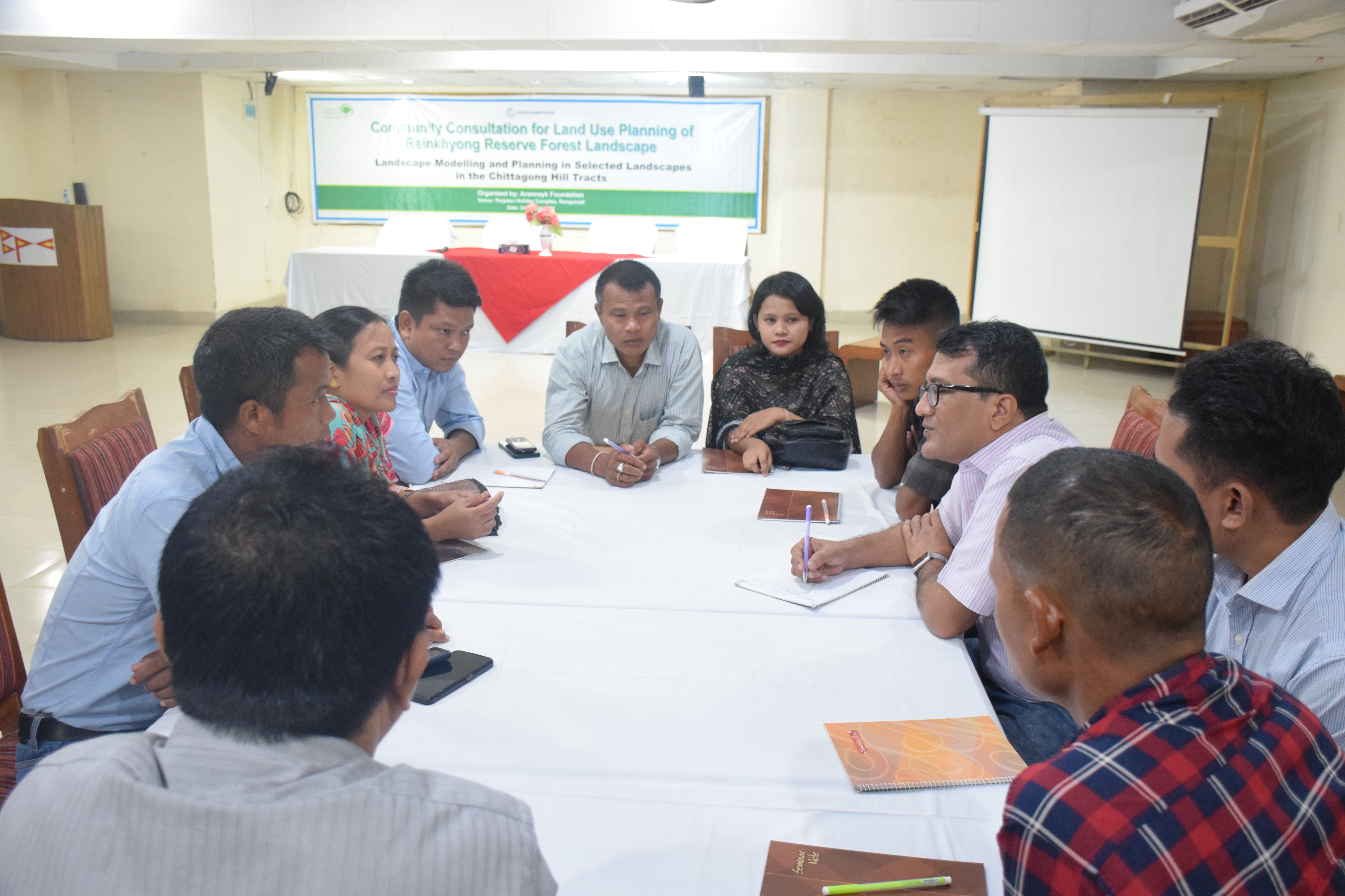
For the development of a long-term land-use plan for a selected landscape in CHT (Rankhiang Reserve Forest and its surrounding landscape in Rangamati and Bandarban Hill Districts) Arannayk Foundation has been implementing the ‘Landscape Modeling and Planning’ project in Chittagong Hill Tracts (CHT) through analysis of the existing land-use practices, institutional and policy frameworks governing land use and the drivers of forest and ecosystem degradation.

Stakeholders Involved, non-exhaustive list

  • World Bank SUFAL Task Team
  • Ministry of Environment, Forest, and Climate Change (MoEFCC)
  • Bangladesh Forest Department (BFD)
  • Ministry of Chittagong Hill Tracts Affairs (MoCHTA)

Specific objectives

  • To analyze the institutional and policy framework governing land-use and drivers of deforestation and ecosystem degradation in Chittagong Hill Tracts (CHTs);
  • To develop a sample land-use and management plan for a selected (landscape) area that reflects natural, social, and administrative diversities related to land-use in the region.
  • To build capacity of local communities for participatory land-use planning and implementation of the landscape management plan to be developed; and
  • To build consensus among the local stakeholders and policymakers through sharing knowledge and policy dialogue.

Intervention Approaches

  • Awareness and capacity building of local communities
  • Evidence-based advocacy for a buy-in of policymakers at all levels
  • Restoration of ecosystem functionality
  • Focus on the landscape level
  • Community participation and ownership
  • Free, prior, and informed choice of the indigenous communities
  • Gender equality